


| Colorado Springs Local NWS Severe Weather Alerts |

|

|

|
| NWS Local Radar Loop | NWS Alert Map | National Radar |
| Live Data Updated: 02-Aug-2026 1:45pm - next update at 12:00am | |||||||||||||||||||||||||||||||||||||||||
| Summary / Temperature | Wind | Rain | Outlook | ||||||||||||||||||||||||||||||||||||||
|
|
|
|
||||||||||||||||||||||||||||||||||||||
| Humidity/Barometer | Almanac | Moon | |||||||||||||||||||||||||||||||||||||||
|
|
|
|||||||||||||||||||||||||||||||||||||||
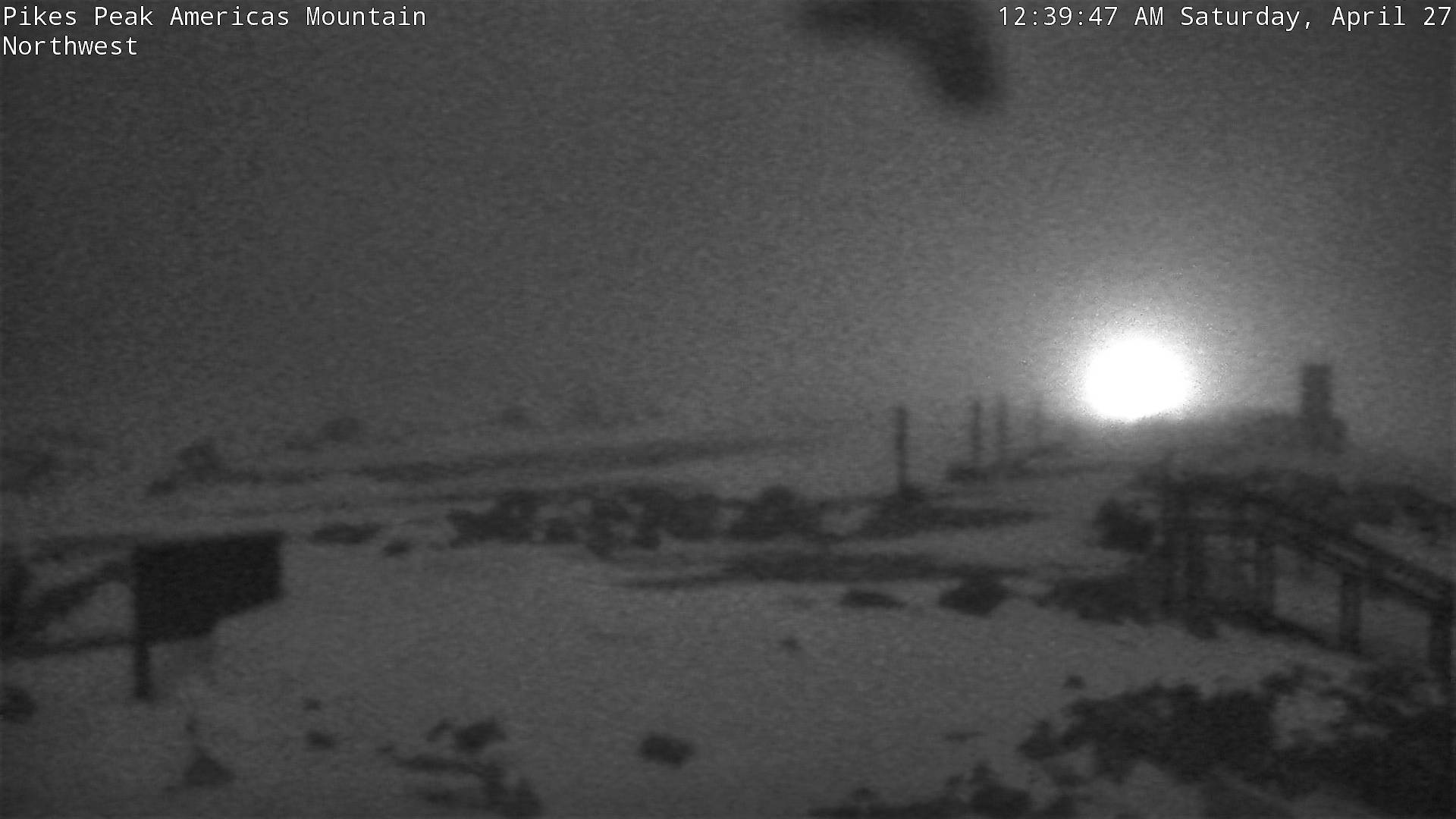
| Fire Danger | Pikes Peak Summit Webcam | ||||||||||||||||||||||||||||||||||||||||
|
|
|
||||||||||||||||||||||||||||||||||||||||


| NWS Weather Forecast - Outlook: This Afternoon & Tonight | ||||||
|
||||||

| NWS Extended Weather Forecast for Colorado Springs |
|
Monday Mostly Sunny then Slight Chance Showers And T-Storms |
Monday Night Slight Chance Showers And T-Storms then Partly Cloudy |
Tuesday Mostly Sunny then Slight Chance Showers And T-Storms |
Tuesday Night  Mostly Clear |
Wednesday Mostly Sunny then Slight Chance Showers And T-Storms |
Wednesday Night Slight Chance Showers And T-Storms then Mostly Clear |
Thursday Sunny then Slight Chance Showers And T-Storms |
| Hi 95 °F | Lo 57 °F | Hi 80 °F | Lo 53 °F | Hi 84 °F | Lo 53 °F | Hi 86 °F |
|
|
|